- Книга (3305)
- Газета (3)
- Журнал (22)
- Автореферат диссертации (183)
- Изоиздание (8)
- Аудиоиздание (8)
- Видеоиздание (228)
- Картографическое издание (28)
- Неопубликованный документ (15)
- Нотное издание (1)
- Фотография (13)
- Статья (776)
- Библиографический указатель (223)
- Словарь (8)
- Календарь (4)
- Брошюра (73)
- Буклет (22)
- Игра (1)
- Веб-архив (172)
- Не указан (2)
- Литературно-художественные издания (307)
- Официальные издания (117)
- Научные издания (1422)
- Научно-популярные издания (2019)
- Информационные издания (555)
- Справочные издания (86)
- Учебные издания (133)
- Производственно-практические издания (3)
- Массово-политические издания (435)
- Изобразительное издание (14)
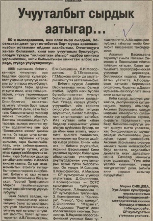
Источник: Юность Севера. - 2015. - 6 ноября. - С. 10
Количество страниц: 1 с.
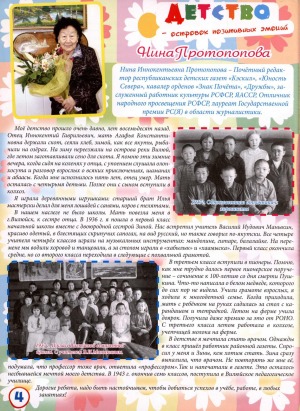
Источник: Саха сирэ. - 2007. - 2007. - Тохсунньу 10 к. - С. 4.
Количество страниц: 1 с.
Источник: Колокольчик. - 2014. - N 6. - C. 4.
Количество страниц: 1 с.
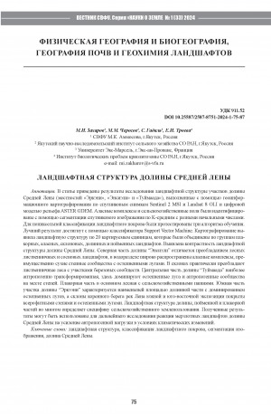
Количество страниц: 13 с.
In this article we present the results of landscape structure study in the Middle Lena valley (Erkeni, Ensieli and Tuimaada), made using GIS mapping based on Sentinel 2 satellite images andASTER GDEM datasets. Alas complexes and croplands were identi ed using K-means image segmentation with di erent initial numbers. Three machine learning algorithms were tested for pixel-based land cover classi cation. The best result was achieved with the Support Vector Machine classi er. The mapping revealed the landscape structure of 20 spatial units, which were organized into groups of upland, alas, slope, valley and oodplain landscapes. The contrasting landscape structure of the Middle Lena valley was revealed. The northern Ensieli valley is characterized by the predominance of forest larch-pine landscapes, alas complexes mostly dry with steppe meadows are widespread in the watershed. The slopes are dominated by larch forests with patches of birch. The central Tuimaada valley is the most anthropogenically transformed, here steppe meadows and anthropogenic steppes dominate. The plateau part is mainly forested with croplands. The southern valley of the Erkeni is characterized by the smallest area of the valley part dominated by steppe meadows, the slopes of the main bank of the southern and south-eastern exposition are covered with xerophytic meadows. The landscape structure of valleys, oodplain and plakor parts largely determines the speci cs of agricultural land use of the local population. The results obtained can be used for further research into the response of permafrost landscapes of the Middle Lena valleys to increased anthropogenic pressure in the context of climate change.
Ландшафтная структура долины Средней Лены / М. И. Захаров, М. М. Черосов, С. Гадаль [и др.] ; Северо-Восточный федеральный университет им. М. К. Аммосова, Якутский научно-исследовательский институт сельского хозяйства, Университет Экс-Марсель, Институт биологических проблем криолитозоны // Вестник Северо-Восточного федерального университета им. М. К. Аммосова. Серия "Науки о Земле". - 2024. - N 1 (33). - C. 75-87. - DOI: 10.25587/2587-8751-2024-1-75-87
DOI: 10.25587/2587-8751-2024-1-75-87
Источник: Наше время. - 2007. - 21-27 декабря. - С. 14
Количество страниц: 1 с.
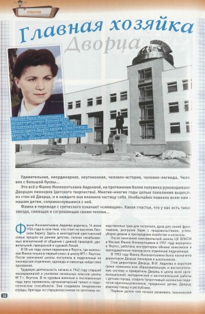
Источник: Школьная пора. - 2013. - N 4. - С. 32-33
Количество страниц: 2 с.
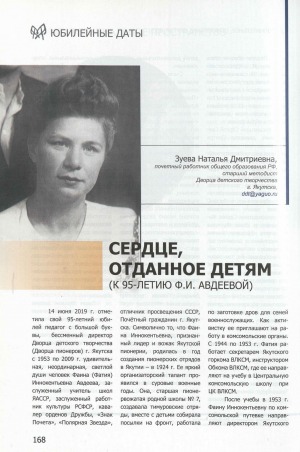
Источник: Дополнительное образование Якутии. - 2019. - N 5 (5). - С. 168-171
Количество страниц: 2 с.
Количество страниц: 9 с.
- Общий отдел > Информационные технологии. Вычислительная техника,
- Краеведение. Археология. География. Биографии. История > Общие вопросы. География как наука. Географические исследования,
- НАУКА ЯКУТИИ > ОБЩИЙ ОТДЕЛ > Информационные технологии. Вычислительная техника,
- НАУКА ЯКУТИИ > КРАЕВЕДЕНИЕ. ГЕОГРАФИЯ. БИОГРАФИИ. ИСТОРИЯ > Общие вопросы. География как наука. Географические исследования.
In this article the problem of studying the landscape structure of inaccessible territories is considered on the example of the neighbourhood of Lake Labynkyr in the Republic of Sakha (Yakutia). The characteristic features of the nature of the unique Lake Labynkyr are highlighted and described. From the position of landscape structure differentiation vegetation indices are analysed. The result of using NDVI (Normalised Difference Vegetation Index), TVI (Transformed Vegetation Index), NRVI (Normalised Ratio Vegetation Index), MTVI2 (Modified Triangular Vegetation Index - improved), MSAVI2 (Modified Soil Corrected Vegetation Index - 2) is presented. The methodology used is based on the experience of studies of areas of similar inaccessibility and uses the raster calculator of QGIS software in combination with slope steepness data obtained from the digital model. Particular attention is paid to the features of the relief, as it is one of the leading factors in the formation of the type of terrain. Characteristic features of five terrain types of the study area are identified and described: slope deluvial-solifluctional, slope deluvial-colluvial, moraine (foothill moraine), mountain-valley, glacial-valley. Based on the analysis of the collected field material, as well as the use of remote sensing methods and geoinformation technologies, the spatial organisation of landscapes was revealed and a map scheme was presented.
Обутов, К. А. Изучение ландшафтной структуры труднодоступных территорий с применением ГИС-технологий (на примере озера Лабынкыр) / Обутов К. А., Дегтева Ж. Ф., Данилов Ю. Г. ; Северо-Восточный федеральный университет им. М. К. Аммосова // Успехи современного естествознания. - 2023. - N 12. - С. 146-154. - DOI: 10.17513/use.38185
DOI: 10.17513/use.38185


